The promotion is valid until the stock is sold out.
Regular price: 8,90 €
Previous price: 8,90 €
In stock
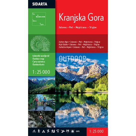
1:25.000
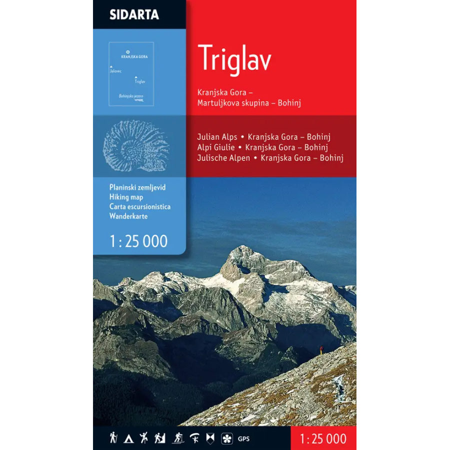
– the map covers the central area of the Julian Alps. The westernmost peak on the map is Jalovec, and in the north it reaches Peč (Tromeja). The eastern edge of the map follows the Mojstrana–Boh. Bistrica line, while the southern edge ends at the upper station of the Vogel cable car.
– marked mountain trails, categorised as easy, demanding and very demanding;
– ski touring routes are marked;
– additional map features: climbing areas, natural and cultural attractions, and paragliding launch sites;
Two coordinate grids are provided for users of satellite navigation (GPS): a rectangular grid using the Gauss-Krüger projection and a geographic grid (WGS84).
Along the edge of the map is a list of mountain huts with contact details, opening hours, accommodation capacity and access information. Distances between individual huts and the distances from each hut to the most important peaks are shown schematically.
The Trilgav map completes the trilogy of maps at a scale of 1:25.000 covering the Julian Alps.
| Manufacturer |
|---|