The promotion is valid until the stock is sold out.
Regular price: 8,90 €
Previous price: 8,90 €
In stock
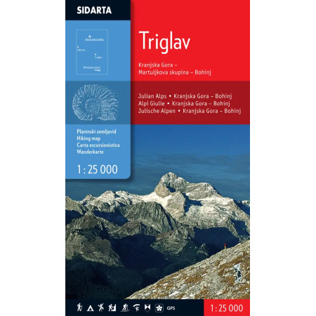
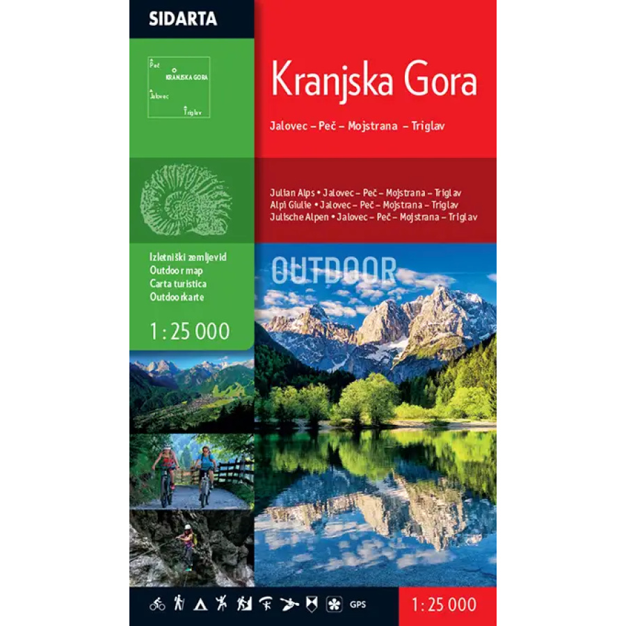
1 : 25.000, excursion map
– the map covers the Upper Sava Valley – “everything from Mojstrana onwards”. The westernmost peak on the map is Mangart; the northern edge follows the ridge of the Karavanke between Peč (Tromeja) and Kepa, the eastern edge runs along the Kepa-Mojstrana-Debela peč line, and the southern edge is bounded by Viševnik-Kanjavec-Trenta.
Map contents:
– marked mountain trails, categorised as easy, demanding and very demanding,
– walking and excursion routes,
– cycling routes,
– hiking routes Via Alpina, Alpe-Adria and Juliana trail,
– ski touring routes,
– natural and cultural attractions, via ferratas, downhill cycling trails …
Two coordinate grids are provided for users of satellite navigation (GPS): a rectangular grid using the Gauss-Krüger projection and a geographic grid (WGS84).
The reverse side describes the marked cycling routes. An elevation profile accompanies each description. The table lists walking routes with their length, timings and difficulty.
| Manufacturer |
|---|