The promotion is valid until the stock is sold out.
Regular price: 8,90 €
Previous price: 8,90 €
In stock
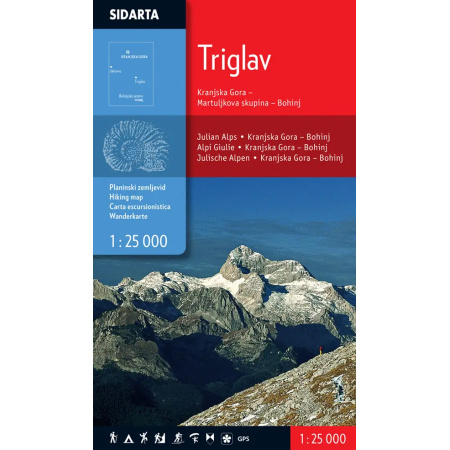
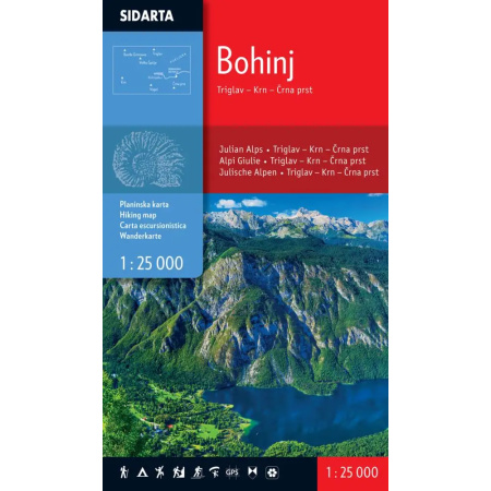
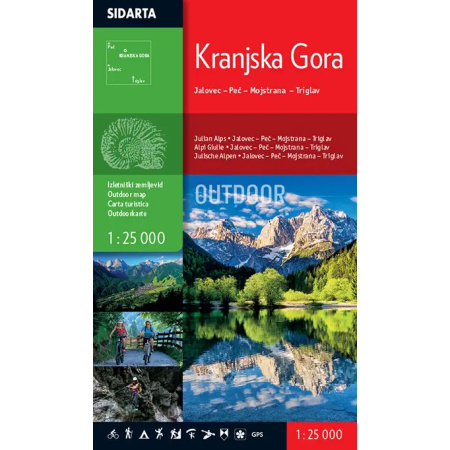
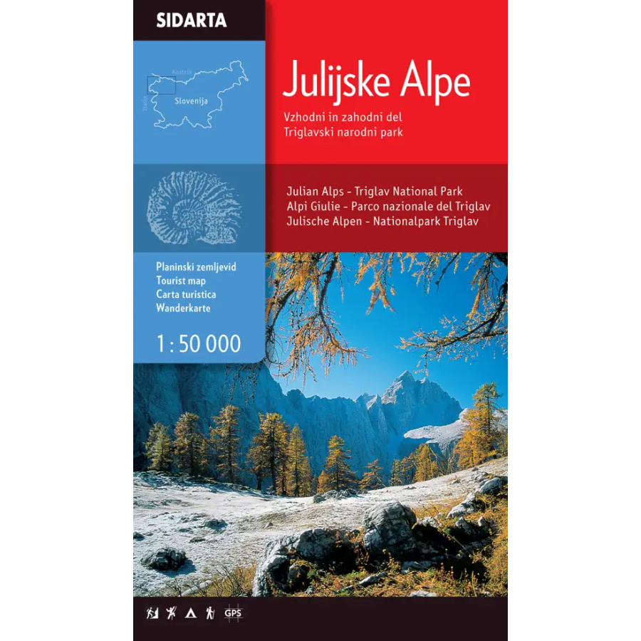
– the map covers the entire Julian Alps. The eastern boundary runs along the Bled-Ratitovec-Blegoš route, the southern boundary: Matajur-Tolmin-Porezen, the western boundary: Breški Jalovec-Brda and the northern boundary: Tarvisio-Tromeja-Kepa-Dovška Baba. It also includes the highest peaks of the Western Julian Alps – Viš and Montaž.
– includes all waymarked trails in the Julian Alps, classified by difficulty as easy, difficult and very difficult waymarked trails;-tourist walking routes around Kranjska Gora, Bovec, Kobarid and Bled are marked;- the »Walk of Peace«, a historical route following the positions of the Isonzo Front and running from Log pod Mangartom to Tolmin and Kobarid, is shown;- the boundary of Triglav National Park is marked;- for users of satellite navigation (GPS), the map has two coordinate grids: a rectangular grid using the Gauss-Krüger projection and a geographic grid (WGS84);- additional map content: climbing areas, natural and cultural attractions;- the reverse side of the map lists mountain huts with contact details, opening hours, accommodation capacity and accessibility. Distances between individual huts and the distances of notable peaks from the individual huts are shown schematically. The content is also translated into English.
| Manufacturer |
|---|