The promotion is valid until the stock is sold out.
Regular price: 8,90 €
Previous price: 8,90 €
In stock
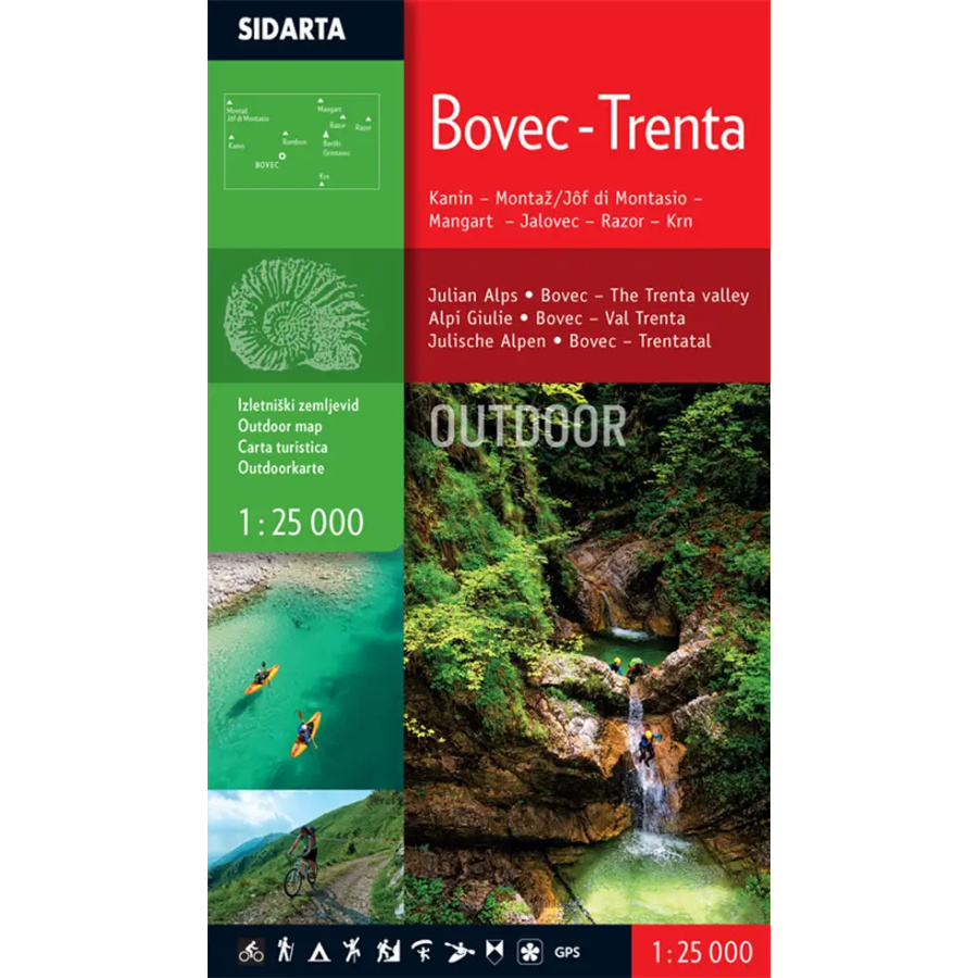
1:25.000, hiking map
Printed on both sides, the map covers the Bovec basin and Trenta, including the surrounding mountains, as well as the Viš and Montasio groups in the western Julian Alps.
The map includes:
– waymarked mountain trails, classified as easy, difficult and very difficult,
– marked walking trails,
– waymarked hiking trails,
– cycling routes with elevation profiles,
– put-in and take-out points for kayakers and rafters. A sketch map of the Soča River is also included, showing all difficulty grades and distances.
– climbing areas,
– paragliding launch sites,
– marked mountain pastures where dairy products can be bought,
Additional map content: natural and cultural attractions, the course of the Austro-Hungarian and Italian lines on the Soča Front, open-air museums, viewpoints, campsites, …
Two coordinate grids are provided for users of satellite navigation (GPS): a rectangular grid using the Gauss-Krüger projection and a geographic grid (WGS84).
| Manufacturer |
|---|